- Details


I finally got around to looking at Crotched Mountain as a hiking destination.
You can set a destination on Google maps for "Crotched Mountain Accessible Trails" to get google directions to the parking area.
According to the Southern NH Trail Guide (SNHTG), Crotched has the longest accessible trails in a mountain environment in the country.
These coexist with a network of ordinary hiking trails, including both Crotched Mountain and Francestown town forest properties.
- Details


I really prefer loops to out-and-backs and some of the unmaintained trails shown on Dave Roberts' map open some possibilities.
The red dot trail between Whiteface and Piper has been itching at me for a while, so I decided to see if I could connect the dots, so to speak.
I DO NOT recommend doing this. Please pay attention to the following warnings from Dave Roberts.
"Broken lines in red ...can also be difficult to follow ...".
Also from DR: "... suitable only for the most experienced hikers, who are very adept at finding their way in the woods and skilled enough at brushwhacking to be able to easily find their way back to a good trail if they do lose their way..."
- Details


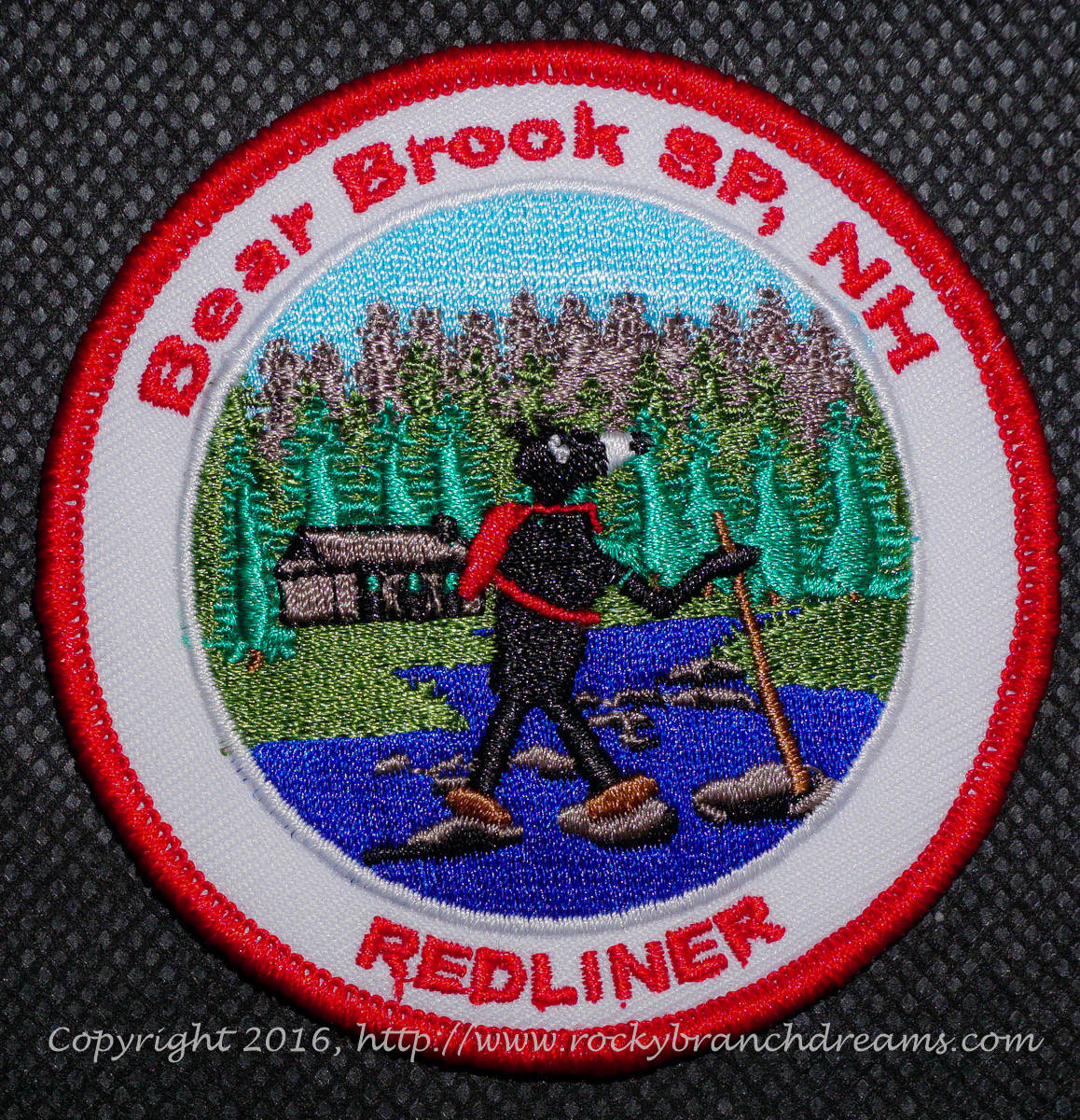
Bear Brook : Old South Road->Hemlock->Campground->OutandBack->SouthRoad.
I looked for a way to make a loop of the Old South Road and OutAndBack trails, but a sketchy bridge and an aversion to high, fast moving, freezing cold water, full of icy and mossy rocks, turned me back.
- Details


Peaked and Middle Mountains are two smallish mountains overlooking Conway/North Conway, on the east side of the Saco River, opposite the Moats.
They are part of the Green Hills Preserve, basically the Black Cap/Cranmore range , and in conservation managed by The Nature Conservancy.
Each has magnificent views for the moderate hike to their peaks.
Note that either ONE of these peaks is easy-to-moderate, but taken together as in this post they are not trivial, at 5.5 mi/ 2040 ft gain.
TLV and I have hiked them numerous times, in all seasons, but it has been a while since our last visit.
- Details


This is one of my file pictures taken from Mt Stanton a few years ago.
The ledges discussed below are those near the summit in this pic. The others are not reachable by trail.
We've hiked Iron so many times that we dont take a lot of pictures any more.
I've included a couple from our stockpile to flesh this post out just a bit.
We went from the Green Hill trailhead to the southern ledges; this trip did not include the mines. They are about .35 mi past the turn off to the ledges, and the trail gets rougher.